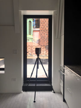


3D laser scanning of Manhattan's streets

Our trained and certified crew perform precise terrestrial laser scanning tasks with FARO and Leica devices. The scanning can be performed in any weather condition and inactive construction sites without impacting construction operations. We perform on-site scanning operations, scan registration, processing and post-processing, point cloud optimization, and geo-referencing for every site condition.
Our reality capture services include the following tasks:
-
Existing condition verification
-
BOMA and REBNY real estate calculation [Square Footage verification]
-
Virtual condition assessment documentation
-
Structural deflection and deformation detection
-
Reality evidence documentation for courts and law firms
-
Historical building documentation and detailing


